
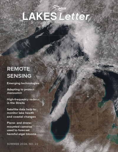
Summer 2024 • Issue 22
Remote Sensing
Published August 2024
This issue explores on Remote Sensing explores how these technologies are transforming Great Lakes research and management. It highlights the use of satellites, drones, and high-frequency radar for tasks ranging from forecasting harmful algal blooms and monitoring coastal changes to improving maritime safety in the Straits of Mackinac. The content also features a collaborative project blending Indigenous knowledge with sensor networks to protect manoomin (wild rice) and discusses efforts to build remote sensing capacity for monitoring African Great Lakes.
Looking for research on a specific topic?
Explore our Article Directory to filter all issues by topic, article type, region, or keyword. Or browse the Author Index to find a contributor.
Issues Archive
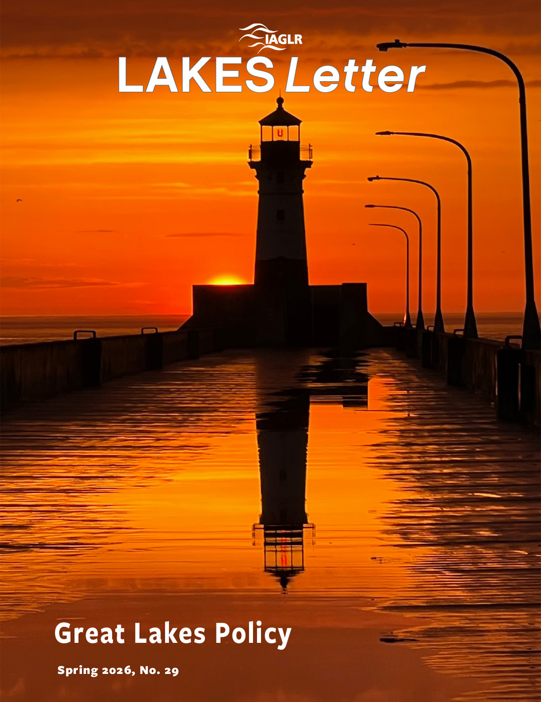
Spring 2026 • Issue 29
Great Lakes Policy

Winter 2026 • Issue 28
Large lakes of the world

Fall 2025 • Issue 27
Science & Innovation
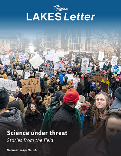
Summer 2025 • Issue 26
Science under threat: Stories from the field
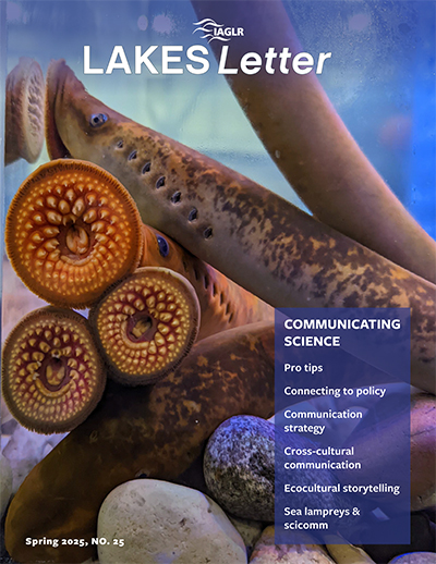
Spring 2025 • Issue 25
Communicating Science
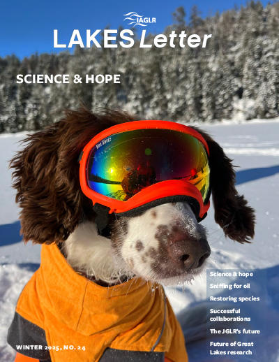
Winter 2025 • Issue 24
Science and Hope
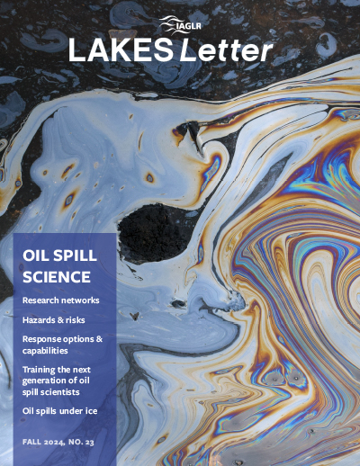
Fall 2024 • Issue 23
Oil Spill Science
Summer 2024 • Issue 22
Remote Sensing
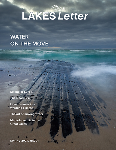
Spring 2024 • Issue 21
Water on the Move
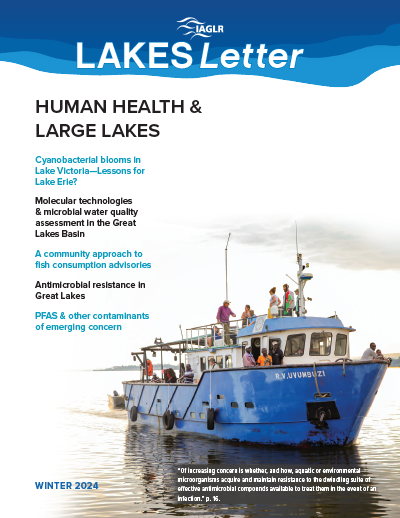
Winter 2024 • Issue 20
Human Health
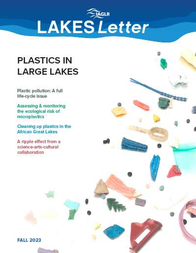
Fall 2023 • Issue 19
Plastic Pollution
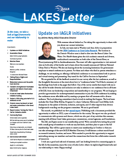
Summer 2023 • Issue 18
Legal Frameworks
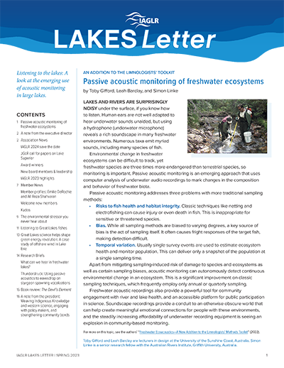
Spring 2023 • Issue 17
Acoustic Monitoring
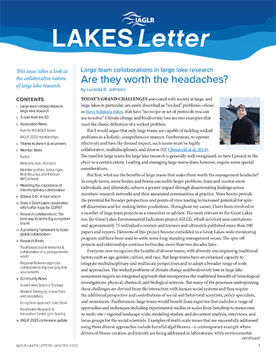
Winter 2023 • Issue 16
Collaborative Research
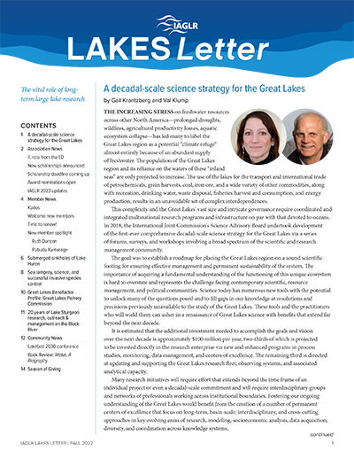
Fall 2022 • Issue 15
Long-term Research
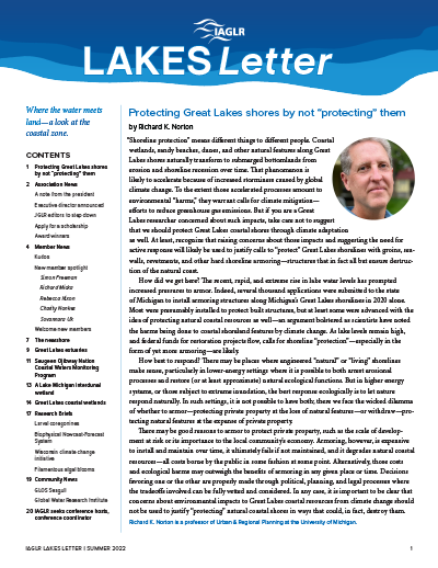
Summer 2022 • Issue 14
Coastal Zone
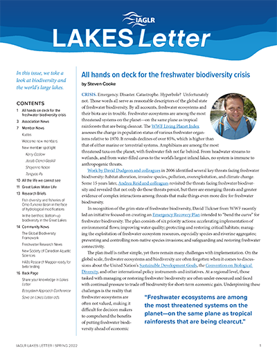
Spring 2022 • Issue 13
Biodiversity
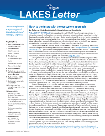
Winter 2022 • Issue 12
Ecosystem Approach
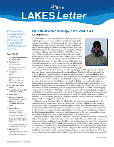
Fall 2021 • Issue 11
Winter Research
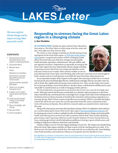
Summer 2021 • Issue 10
Climate Change
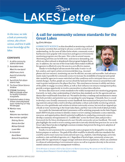
Spring 2021 • Issue 9
Community Science (Citizen Science)
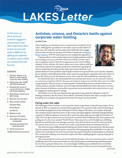
Winter 2021 • Issue 8
Community Service
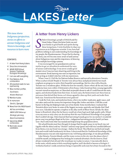
Fall 2020 • Issue 7
Indigenous Knowledge
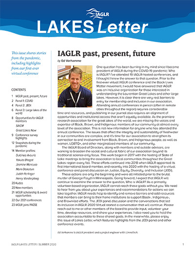
Summer 2020 • Issue 6
Pandemic, Conference Highlights
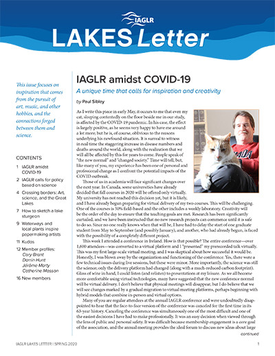
Spring 2020 • Issue 5
Arts and Science
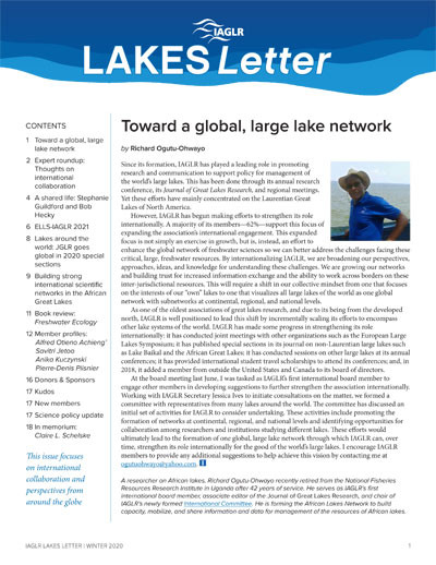
Winter 2020 • Issue 4
International Collaboration
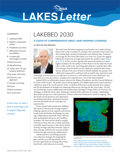
Fall 2019 • Issue 3
Technology
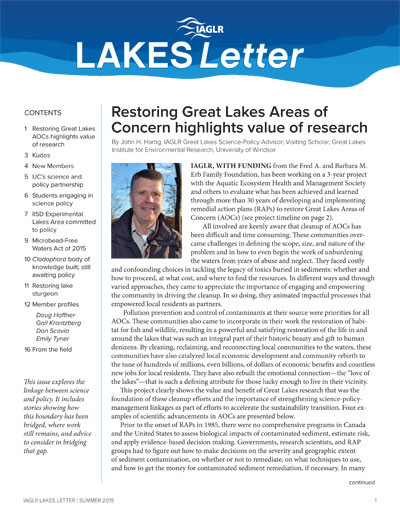
Summer 2019 • Issue 2
Science and Policy
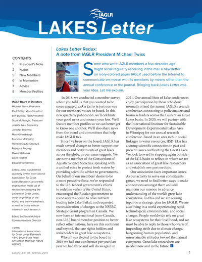
Spring 2019 • Issue 1
Lakes Letter Redux