Periphyton is the collection of organisms including algae, fungi, and bacteria that attach to submerged surfaces in freshwater ecosystems. As primary producers, they collect energy from the sun and make it available to other organisms in aquatic food webs. Periphyton communities in the Great Lakes can provide clues as to how fluctuating water levels due to climate change may affect aquatic communities, the health of aquatic systems, and the quality of water for human use. The compositions of these communities vary even within small geographic areas as they respond to depth- and location-specific chemical and physical factors such as temperature, nutrients, and substrate geology. To get a close look at these communities and their habitats, we need detailed photos and maps of the lake bottoms where they live.
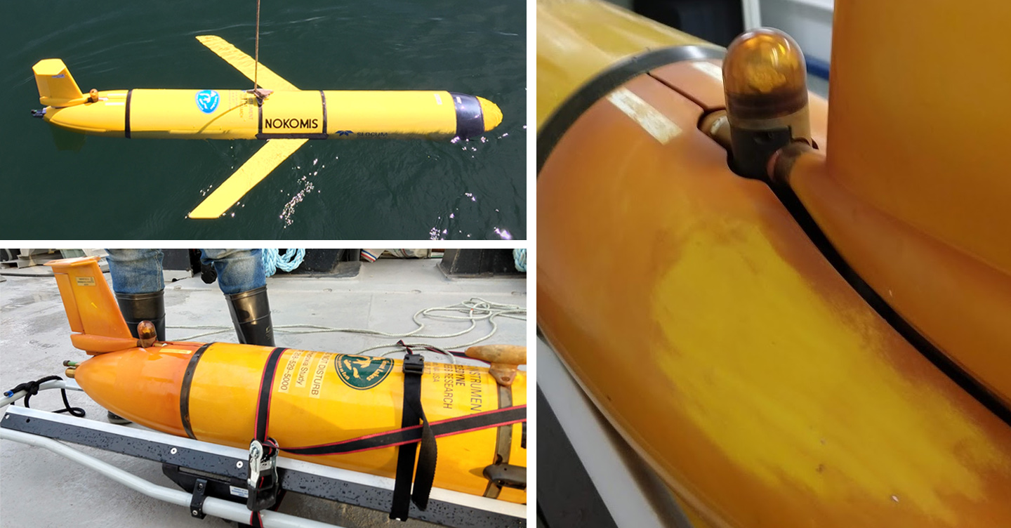
We used Michigan Technological University’s fully autonomous underwater vehicle, the IVER 3, to collect amazing, high-resolution (<10 cm) bathymetric images using side scan sonar at three locations in Lake Superior along the Keweenaw Peninsula. These bathymetric data are allowing us to map small-scale variations in substrate and to model factors that may influence the presence and composition of periphyton communities. In addition, the data will help us predict how lake level changes forecast for Lake Superior will potentially impact its periphyton community assemblages. In the face of increasing demands on water resources, it is vital that we understand the implications of a changing climate on aquatic systems in the Great Lakes. The IVER 3 will help collect data to allow us to do just that.