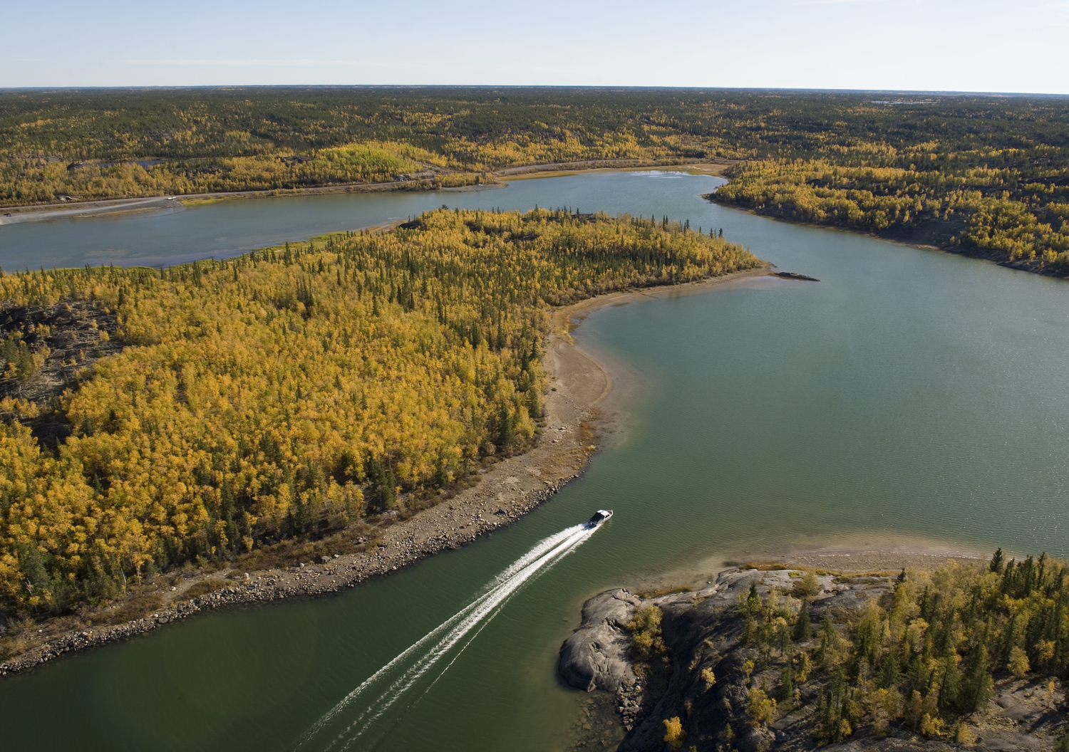
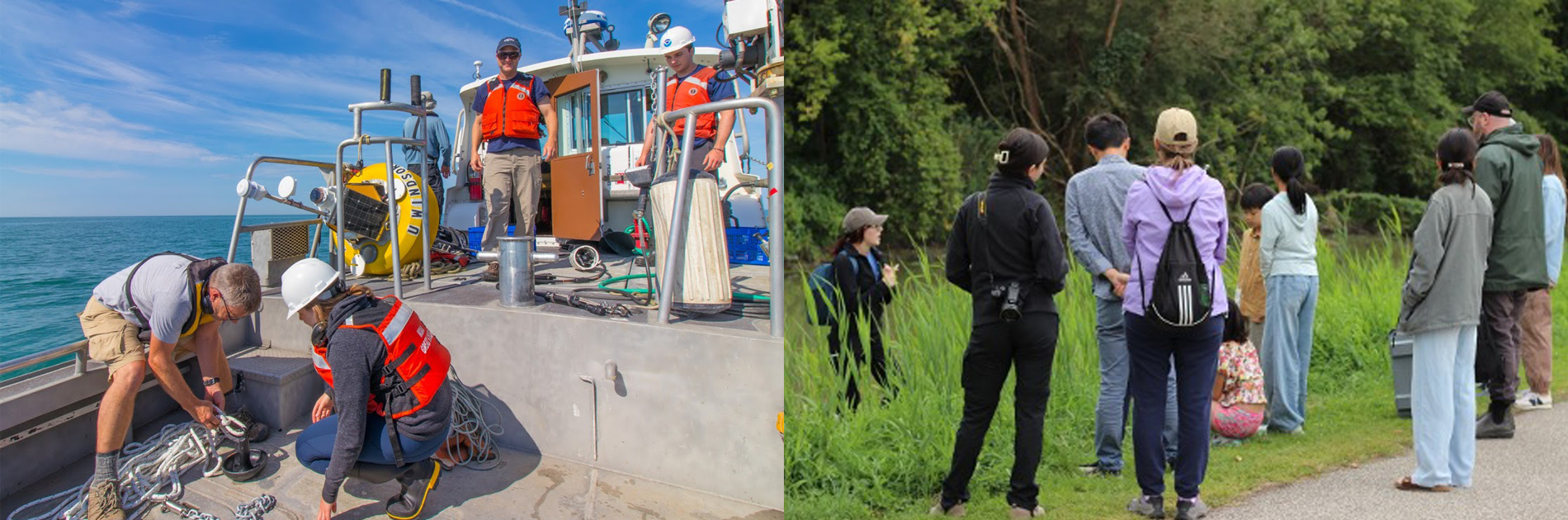
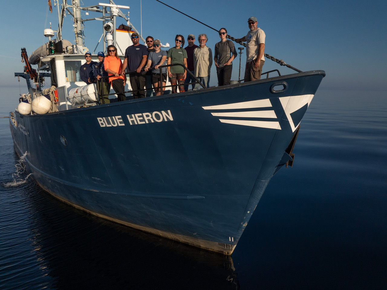
It was by far one of the most indelible experiences of my career on the Great Lakes. In early September 2025, funded by the Government of Canada’s Natural Sciences and Engineering Research Council and the Great Lakes Fishery Commission, I set out with researchers Bianca Possamai and Gwen Phillips (University of Vermont), Lydia Paulic (University of Windsor), and filmmakers Yvonne Drebert and Zach Melnick (Inspired Planet Productions) aboard the R/V Blue Heron on Lake Superior to explore the Superior Shoal. There, we hoped to test theories that we and others have developed to determine how physical and biological processes interact in these lakemount environments, as well as capture some incredible underwater video that would facilitate not just great footage but also scientific discovery. The voyage represents the first such expedition led by Lakehead University, located on the north shore of Lake Superior in Thunder Bay.
For those unfamiliar with the term, lakemounts are underwater mountains that rise from the lakebed but do not break the surface. Seamounts, similar structures in the oceans, have long been documented to support high levels of biodiversity and biomass compared to either open water or coastal environments, to the extent that many now form the basis of significant marine sanctuaries (e.g., the Davidson Seamount off the coast of Monterey, California). Despite these findings, comparatively little investigation has occurred on lakemounts. Building off what is known about seamounts, we outlined a conceptual model (Possamai et al. 2024) that describes how these unique physical environments of steep rock faces could interact with underwater currents to support the biodiversity and productivity we expected to see on our expedition. Like seamounts, these lakemount environments likely represent biological oases that may support critical metapopulations for other more disturbed environments surrounding them. As such, understanding the role lakemounts play in the Great Lakes is important, especially given the swift alterations driven by climate change and other stressors.
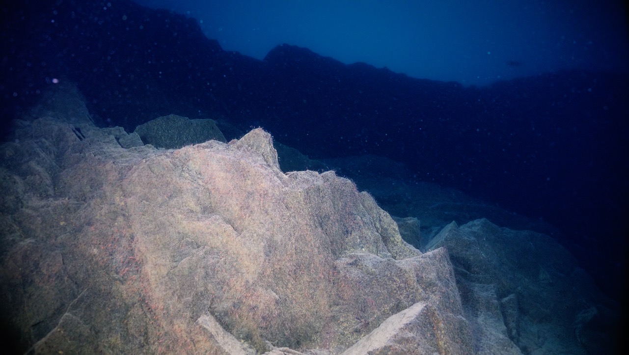
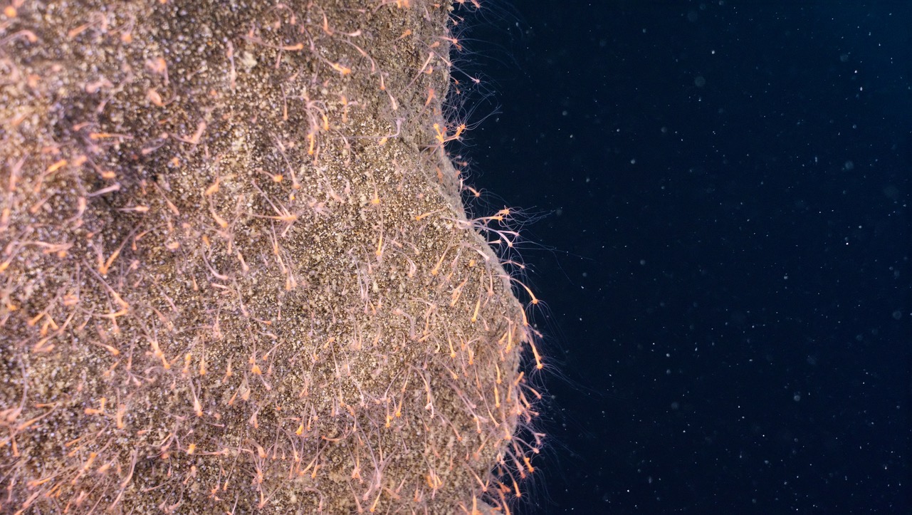
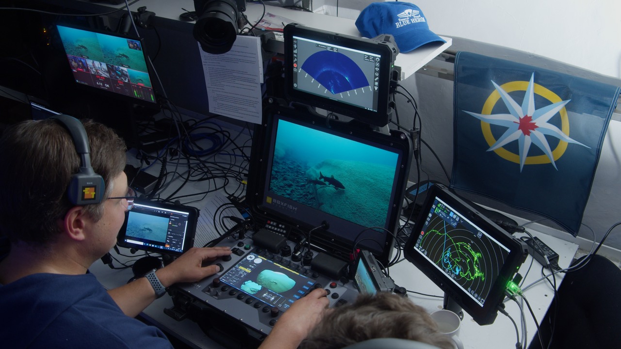
We were not disappointed by what we found. Rising from nearly 300 meters deep and cresting just 6 meters below the surface, the Superior Shoal is the underwater remnant of an ancient volcano and sandstones transported through geologic faults passing under Lake Superior’s depths. Occupying an area of about 300 square kilometers and located in Canadian waters approximately 70 kilometers from any shoreline, it sits surrounded by a sea of freshwater. Despite this geographic isolation, this and previous expeditions found the shoal to be teeming with life. During our seven days on the shoal, we observed exceptionally high densities of several strains of lake trout (including leans, humpers, and redfins) around the lakemount crests where the expedition sampled. Using a remotely operated vehicle (ROV) equipped with a cinema-grade camera to observe these fish, we found them cruising along shoal surfaces and among dense mats of periphyton that persisted to about 15 meters, as well as on shelves along the sides of the shoal under steep drop offs. Further down, ROV deployments revealed high densities of hydra (pictured below), covering the vertical shoal surfaces of the lakemounts where sediments can’t accumulate, observed down to depths of 140 meters and potentially deeper.
And that’s just what we saw directly as part of the expedition. We have reams of hydroacoustic data (collected from the boat as well as from both upward-looking stationary units and the slocum glider deployed as part of this expedition); acoustic Doppler current profiler (ADCP) data to assess currents around the shoals; glider conductivity, temperature, depth, and flourimetry data; phytoplankton and zooplankton samples; nutrient chemistry samples; as well as biological samples for stable isotope analysis and a ton of high-resolution video to assess. Sample analyses are currently being prepared or underway with preliminary results hopefully forthcoming in the new year. And while a large part of the success of this mission can be chalked up to unbelievably good weather, it could never have happened without the dedication of both the scientific and ship crew on the University of Minnesota Duluth’s R/V Blue Heron, who all went above and beyond to make sure we collected all the data we could in our time at the shoal.
Though the data generated from this expedition will certainly begin to provide greater insights into the mechanisms supporting the diversity and production of these shoal ecosystems, longer-term, moored deployments of ADCPs and hydroacoustics to evaluate currents and the distribution and densities of organisms over the winter, as well as more extensive biological sampling for organisms along shoal surfaces are things we hope to be able to accomplish in future expeditions. We are currently working up these data to support future grant proposals to help fill these gaps and hope to visit the Superior Shoal and potentially other Great Lakes lakemount environments again very soon.
For a firsthand glimpse of what we saw, you can watch the Freshwater Everest livestream recording (or search the Internet for “Freshwater Everest YouTube”).